Malta · Snorkelling
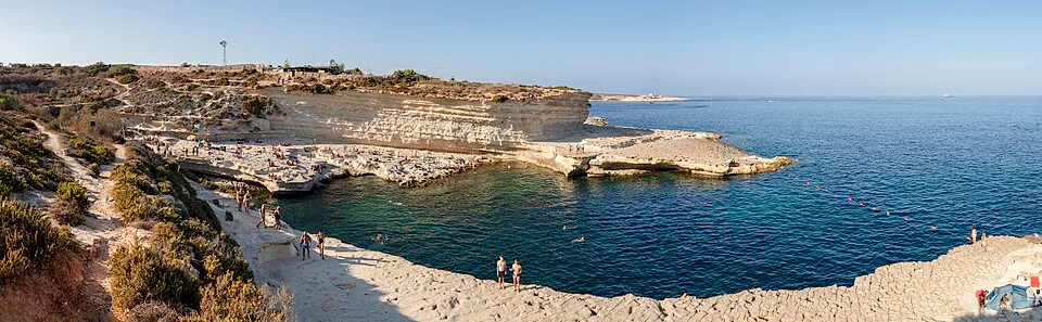
St Peter’s Pool snorkel coast
A surface look at the limestone basin near Marsaxlokk.
View place & access ↗Malta / St Thomas Bay
A bay-side alternative to the longer Munxar kayak routes.
Getting there & access ↓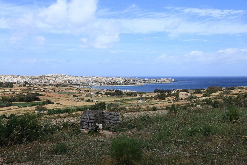
St Thomas Bay offers a different surface setting from Delimara’s rock pools. Discuss the intended shoreline section and the entry with a bay-based provider. Keep the snorkelling area separate from kayak launches, towable lanes and the outward Munxar route.
Features and marine-life sightings depend on the agreed route and conditions.
THE WAY IN
Bay shoreline; the provider chooses the actual snorkelling entry away from watersports lanes.
A named arrival area, not an exact water entry. Confirm the actual meeting point locally.
Map reference: 35.8610° N, 14.5680° E · Approximate area.
Check the current regional wind and sea outlook, then agree the entry, exit, route and required experience with a local operator. Regional forecasts do not measure cave surge, currents, visibility, water quality or closures.
Open this place in the live explorer ↗Place / operator reference ↗ · Researched 2026-11-05
Malta · Snorkelling
A surface look at the limestone basin near Marsaxlokk.
View place & access ↗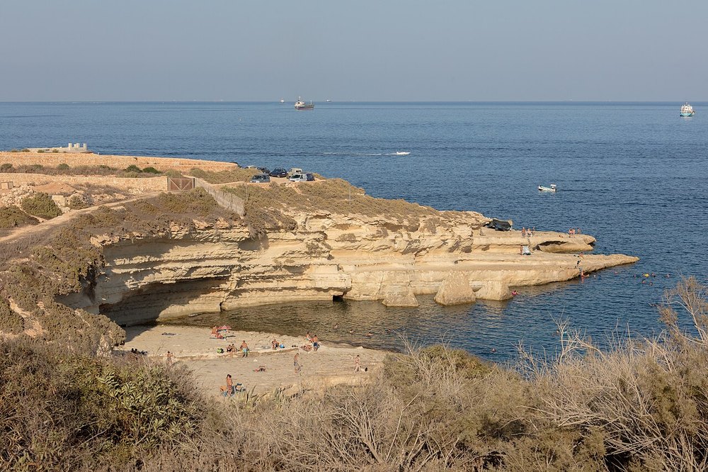
Malta · Snorkelling
Look for small marine habitats around Delimara’s limestone shore.
View place & access ↗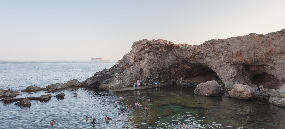
Malta · Snorkelling
A guided surface outing around the Għar Lapsi coast.
View place & access ↗