Malta · Scuba diving
Tugboat 10
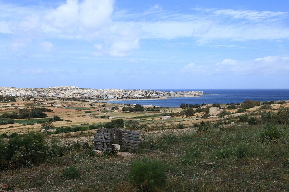
One of two small tugboat wrecks near Żonqor Point.
View place & access ↗Malta / Marsaskala
A former patrol vessel scuttled between the Marsaskala tug wrecks.
Getting there & access ↓Source-reported site depths, not a recommended dive profile. “+” is open-ended. A qualification label does not qualify a diver for cave or wreck penetration.
The reference reports deterioration of P33 after scuttling. Ask for a recent site briefing and an external observation route suited to the present remains.
Features and marine-life sightings depend on the agreed route and conditions.
THE WAY IN
The reference labels shore access “Easy”. Detailed directions for the precise entry are not verified in this guide. Use the individual site reference and confirm the approach and return with the dive centre.
Map reference: 35.8658° N, 14.5755° E · Nearby.
Check the current regional wind and sea outlook, then agree the entry, exit, route and required experience with a local operator. Regional forecasts do not measure cave surge, currents, visibility, water quality or closures.
Open this place in the live explorer ↗Place / operator reference ↗ · Researched 2026-11-04
Malta · Scuba diving
One of two small tugboat wrecks near Żonqor Point.
View place & access ↗Malta · Scuba diving
A former Grand Harbour tug scuttled near Marsaskala in 1998.
View place & access ↗Malta · Scuba diving
Shallow reef on either side of the Żonqor peninsula.
View place & access ↗