Malta · Kayaking
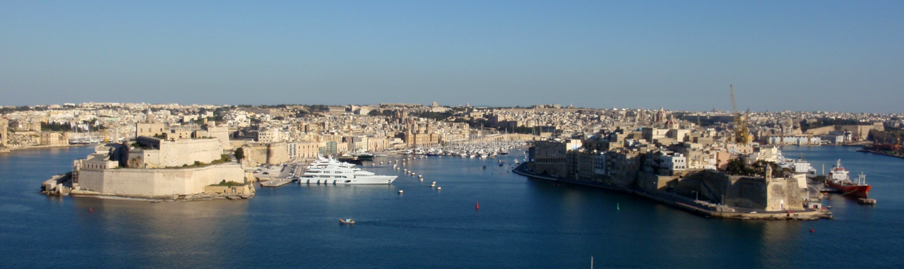
Grand Harbour & Three Cities
A history-focused harbour paddle around the Three Cities waterfront.
View place & access ↗Malta / Marsamxett Harbour
See Marsamxett’s harbour setting from a guide-led kayak.
Getting there & access ↓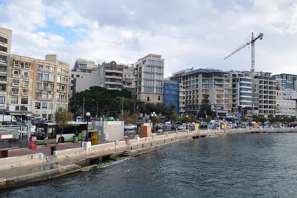
This is separate from the Three Cities paddle in Grand Harbour. Kayak Tours Malta identifies Manoel Island as an alternative location it can serve by arrangement. Use it as a custom enquiry, with the exact launch, route and harbour permissions confirmed directly.
Features and marine-life sightings depend on the agreed route and conditions.
A custom harbour planning idea: the operator names Manoel Island as an alternative location by prior arrangement. This is not a fixed itinerary or a complete island circuit. Harbour traffic and instructions determine the actual route.
Route lines and starting points in the explorer are editorial illustrations, not surveyed tracks.
THE WAY IN
Custom harbour launch; the named island is only the land-arrival area.
A named arrival area, not an exact water entry. Confirm the actual meeting point locally.
Map reference: 35.9045° N, 14.4970° E · Approximate area.
Check the current regional wind and sea outlook, then agree the entry, exit, route and required experience with a local operator. Regional forecasts do not measure cave surge, currents, visibility, water quality or closures.
Open this place in the live explorer ↗Place / operator reference ↗ · Researched 2026-11-05
Malta · Kayaking
A history-focused harbour paddle around the Three Cities waterfront.
View place & access ↗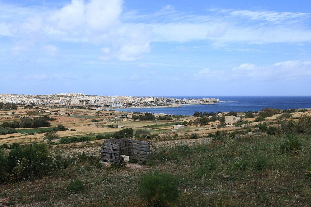
Malta · Kayaking
A longer St Thomas Bay route continuing beyond Munxar towards Xrobb l-Għaġin and Il-Ħofriet.
View place & access ↗Malta · Kayaking
Paddle from St Thomas Bay towards Munxar’s cliffs and cave coast.
View place & access ↗