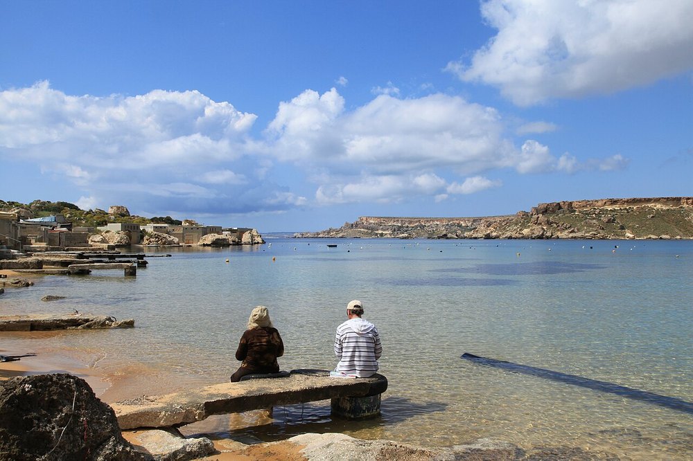
Malta · Kayaking
Ġnejna & Qarraba headland
A headland-focused paddle idea north of Ġnejna.
View place & access ↗Malta / Ġnejna
Paddle from Ġnejna towards Ta’ Marija’s cave-lined coast.
Getting there & access ↓The operator also offers extensions towards Fomm ir-Riħ. Ask which distance, cave stops and return are planned for your group.
Features and marine-life sightings depend on the agreed route and conditions.
An illustrative coastal corridor, not an entrance location. Confirm the actual cave route with the guide.
Route lines and starting points in the explorer are editorial illustrations, not surveyed tracks.
THE WAY IN
Bay / slipway area; the route and equipment handover are operator-specific.
A named arrival area, not an exact water entry. Confirm the actual meeting point locally.
Map reference: 35.9207° N, 14.3438° E · Approximate area.
Check the current regional wind and sea outlook, then agree the entry, exit, route and required experience with a local operator. Regional forecasts do not measure cave surge, currents, visibility, water quality or closures.
Cave and overhead access requires an on-site assessment and appropriate training and equipment.
Open this place in the live explorer ↗Place / operator reference ↗ · Researched 2026-11-04
Malta · Kayaking
A headland-focused paddle idea north of Ġnejna.
View place & access ↗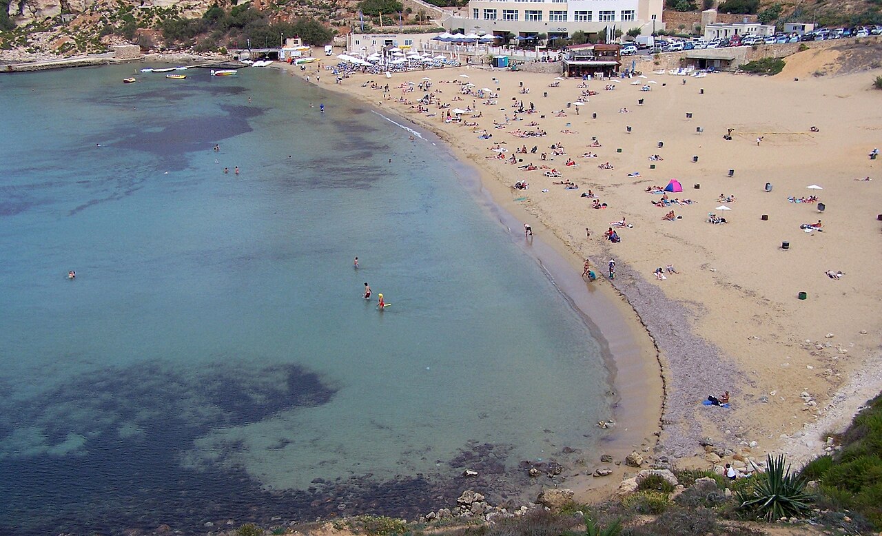
Malta · Kayaking
Link Golden Bay with the headland towards Riviera Bay by kayak.
View place & access ↗Malta · Kayaking
Follow Malta’s northwest coast in the opposite direction from the Riviera route.
View place & access ↗