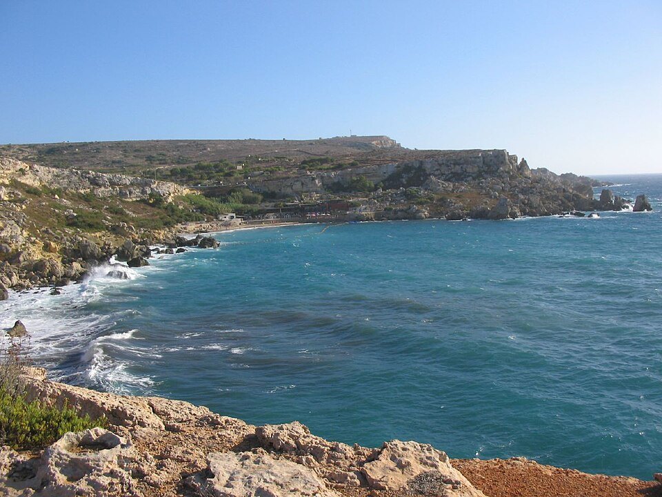
Malta · Snorkelling
Paradise Bay rocky edges
Follow the transition between sand and rock at Paradise Bay.
View place & access ↗Malta / Armier Bay
Explore Armier’s surface setting with an eye for maritime heritage.
Getting there & access ↓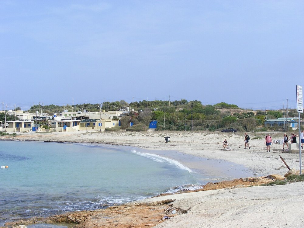
The heritage authority documented guided snorkelling here during its August 2026 Spot the Anchor event. That past event supports the bay’s underwater interest; it does not establish a current tour, marked trail or access to an archaeological site. Ask a local operator about today’s surface options.
Features and marine-life sightings depend on the agreed route and conditions.
THE WAY IN
Bay-side approach; Armier and Little Armier are distinct beaches.
A named arrival area, not an exact water entry. Confirm the actual meeting point locally.
Map reference: 35.9888° N, 14.3515° E · Approximate area.
Check the current regional wind and sea outlook, then agree the entry, exit, route and required experience with a local operator. Regional forecasts do not measure cave surge, currents, visibility, water quality or closures.
Open this place in the live explorer ↗Place / operator reference ↗ · Researched 2026-11-05
Malta · Snorkelling
Follow the transition between sand and rock at Paradise Bay.
View place & access ↗Malta · Snorkelling
A surface-exploration idea around Ċirkewwa’s northern reef coast.
View place & access ↗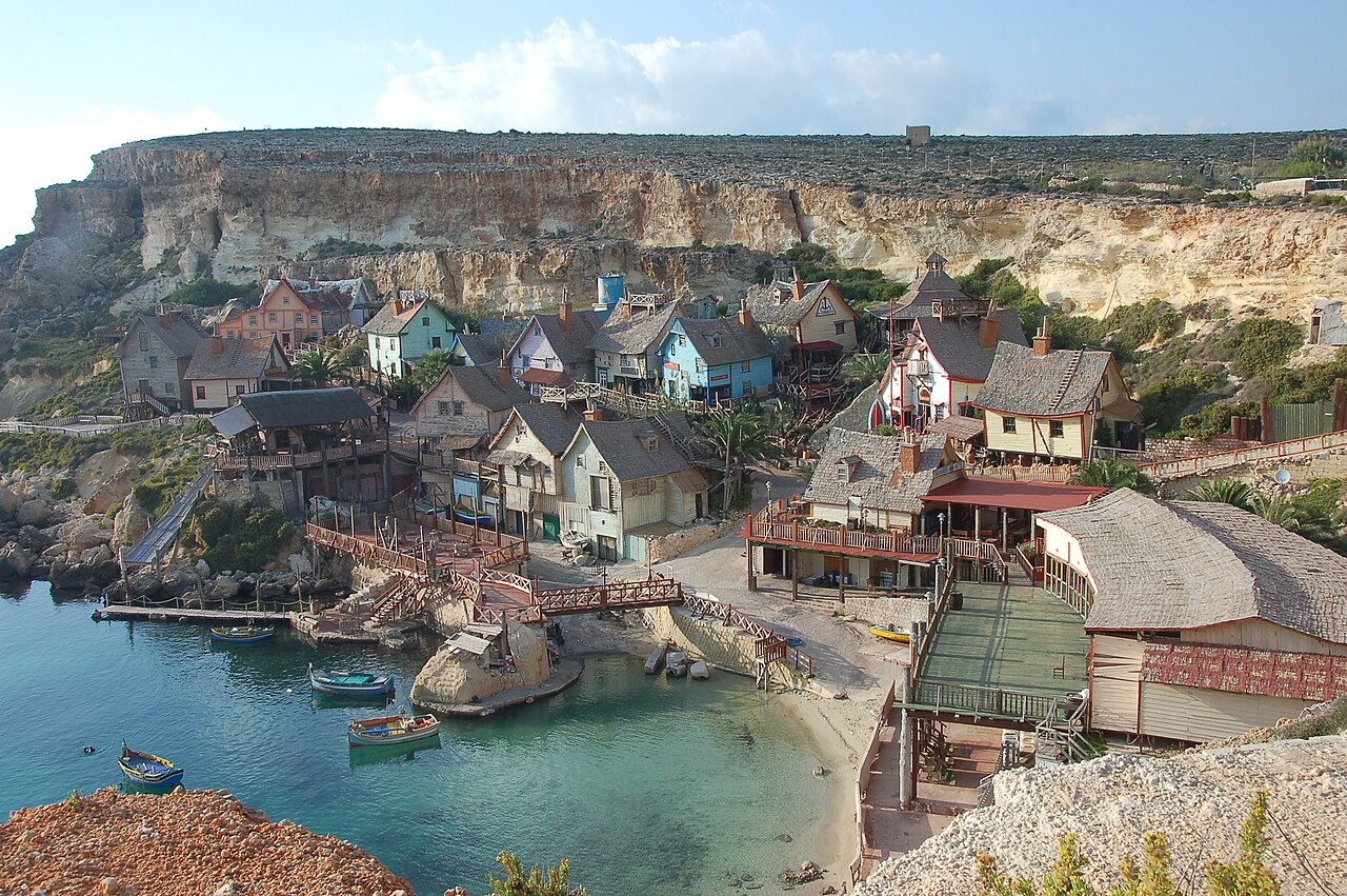
Malta · Snorkelling
A guided surface-exploration idea at Anchor Bay.
View place & access ↗